Nearby Attractions
Top adjacent points of interest, complete with driving distances and travel times.
Monte Linas Massif
The rugged granite peaks of Monte Linas dominate the horizon of southwestern Sardinia. Hikers can ascend the golden-hued peaks through wild holm-oak forests, discovering steep ravines, hidden streams, and panoramic vistas stretching to the Campidano plain.
Porto Flavia
An extraordinary monument to Sardinia's industrial mining history, Porto Flavia is a harbor tunnel carved directly into towering sea cliffs near Iglesias. Engineered by Cesare Vecelli in 1924, this historic site features a spectacular cliffside loading dock facing the sea.
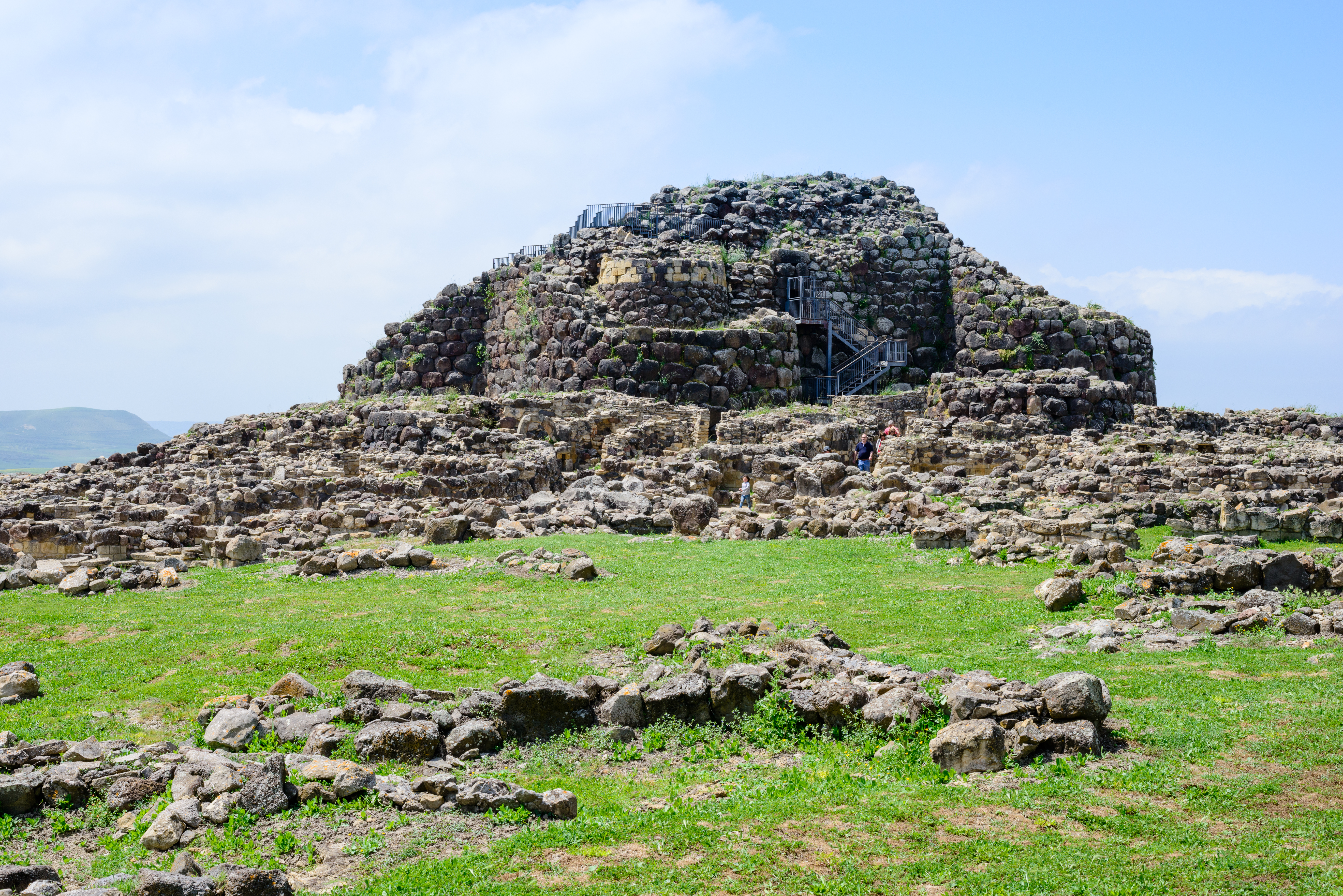
Su Nuraxi di Barumini
Sardinia's most famous UNESCO World Heritage site, this sprawling archaeological park houses a colossal Bronze Age nuragic fortress. The defensive complex features a massive central tower surrounded by concentric bastions and a maze of circular stone huts.
Nuraghe Santu Antine
Located further north in the Cabu Abbas plain, Nuraghe Santu Antine represents the engineering pinnacle of the Nuragic civilization. Often called Sa domo de su re ('The House of the King'), it features concentric double-walled corridors and intact stairways.